Vertex Innovators

Vertex Innovators is an innovative Survey Solutions Company operating since 2012. As a leading firm in Sri Lanka, we are dedicated to delivering precise, reliable, and technologically advanced solutions for land and engineering projects.
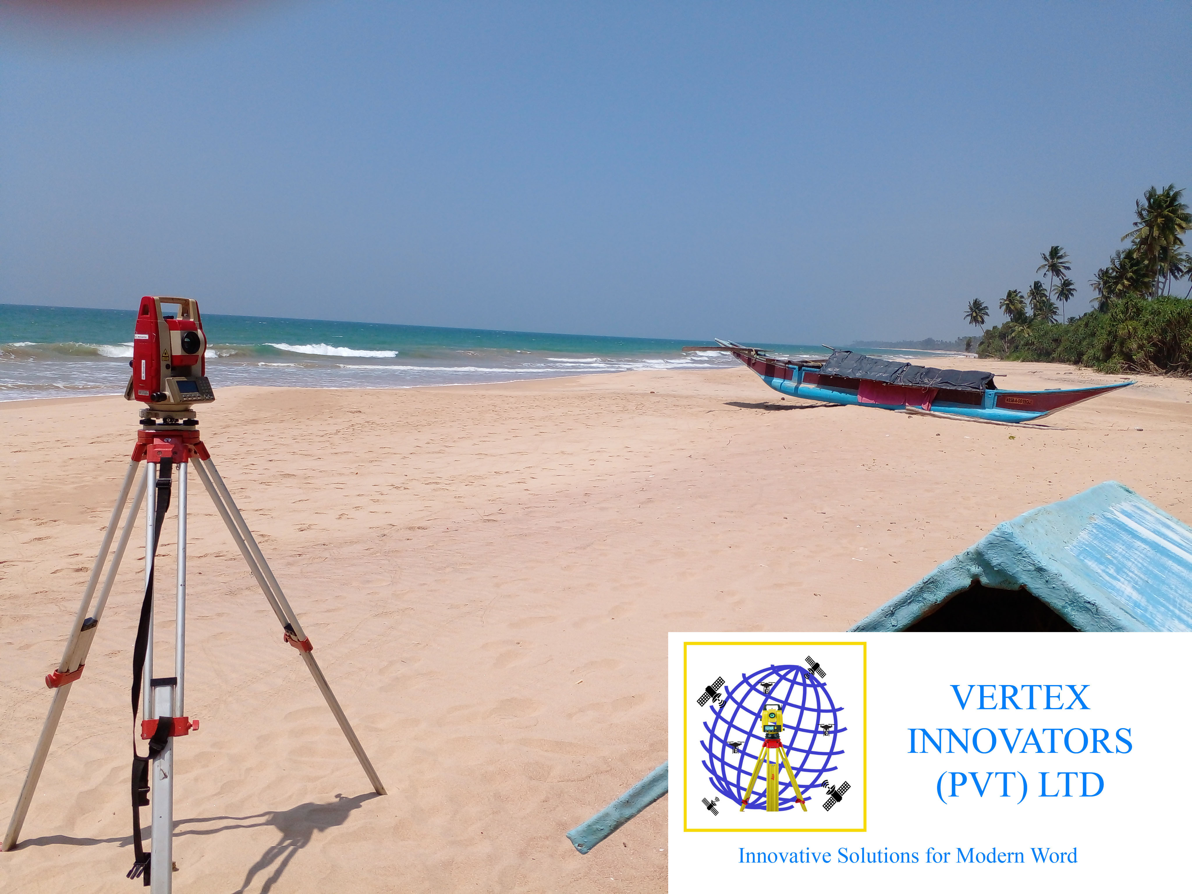
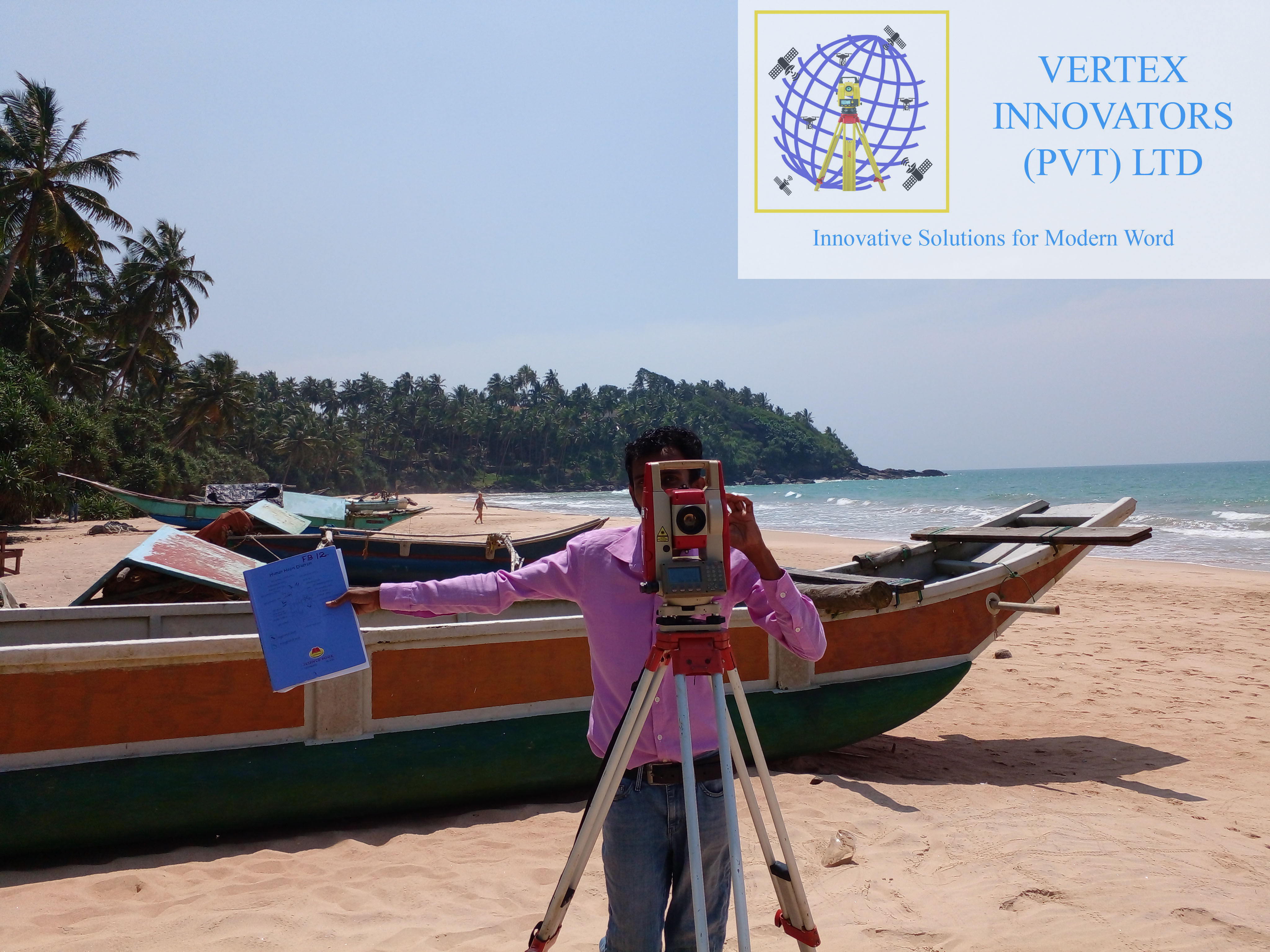
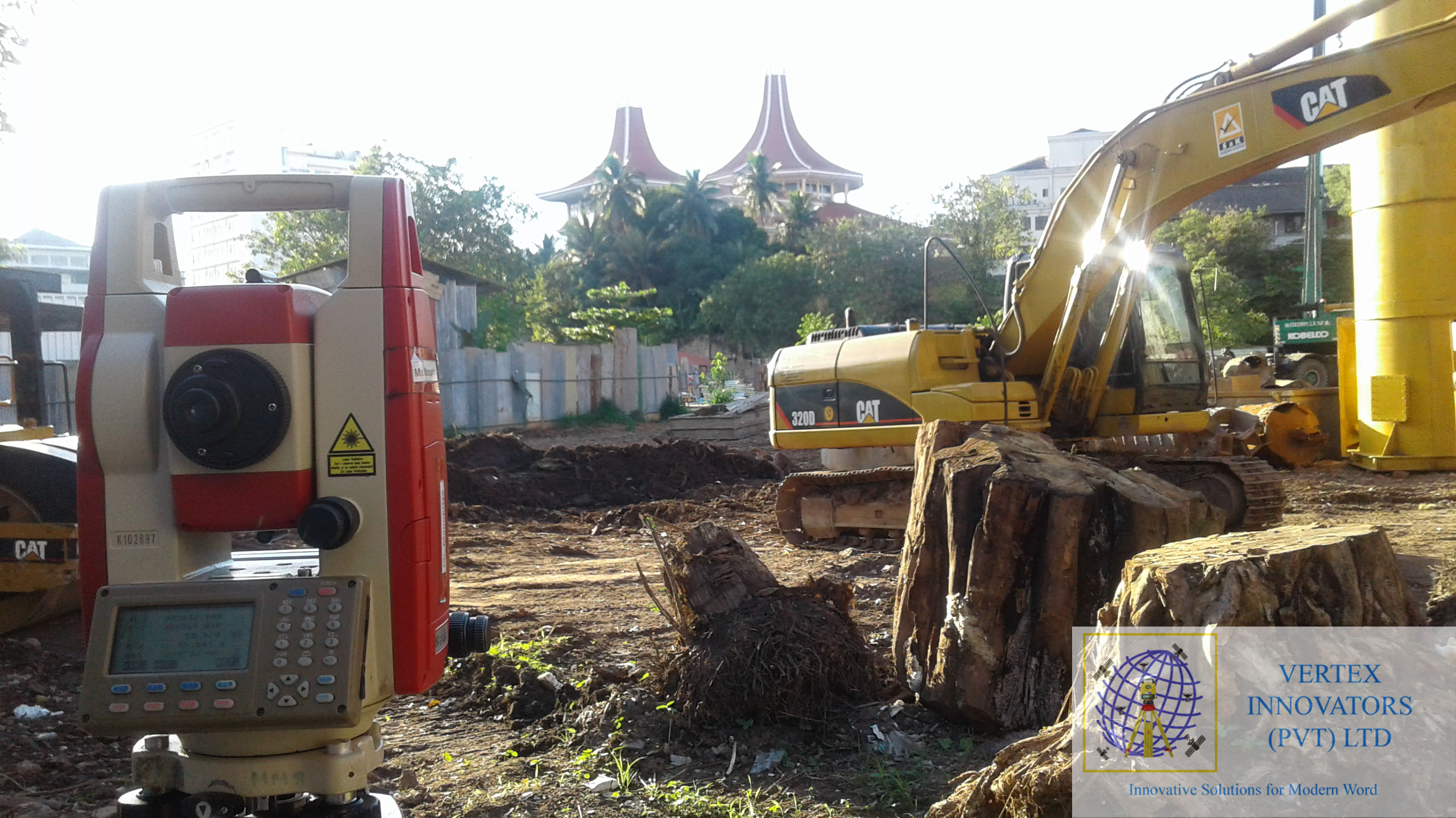
Our team comprises Licensed Surveyors and experienced technical staff specializing in Land Partitioning, Blocking Out plans, and Engineering Surveys. We utilize advanced GPS and Total Station instruments to ensure the highest accuracy for legal and construction purposes.
We have successfully engaged in several major survey tasks in Sri Lanka, contributing to national infrastructure and private developments, ensuring every boundary is defined with absolute precision.
At Vertex Innovators, we move beyond traditional methods. We integrate the latest geospatial technology to ensure that every measurement we take is accurate to the millimeter.
We utilize GNSS (Global Navigation Satellite Systems) for large-scale geodetic positioning and high-end Total Stations for intricate engineering works. This combination allows us to work faster and more accurately than competitors using outdated equipment.
Whether it is a complex hydrographic survey or a simple land partition, our digital workflow ensures data integrity from the field to the final printed plan.

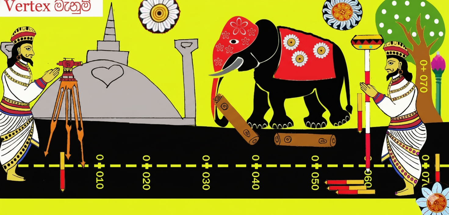
Blending Sri Lanka's rich engineering history with modern surveying precision.
Our team consists of government-registered Licensed Surveyors ensuring legal validity for all plans.
We use the latest GPS and Total Station technology to guarantee millimeter-level accuracy.
We understand the value of time. Our projects are completed efficiently within the agreed timeframe.
Comprehensive support from initial consultation to final plan approval and legal registration.
Legal boundary definitions and plans for land registration and title deeds.
Subdivision of large lands into plots for sale or development purposes.
Precise data for infrastructure, roads, and building construction projects.
Topographic mapping for elevation, drainage, and landscape design.
High-precision satellite positioning for large scale mapping.
Site setting out, column marking, and structural monitoring.
Apartment ownership plans (Condominium Plans) for deeds.
Individual & Special requirement surveys for private lands.
Urban planning surveys and street line definition for municipal councils.
Mapping of underwater features, reservoirs, and coastal areas.
We discuss your specific requirements, analyze the land deeds, and determine the most effective survey method for your project.
Our technical team visits the site using advanced Total Stations and GPS equipment to capture precise ground data and boundaries.
Collected data is processed using CAD software to create accurate plans, checking against regulations and historical records.
The final plans are certified by our Licensed Surveyors and delivered to you, ready for legal registration or construction.
Land is one of your most valuable assets. Errors in surveying can lead to costly legal disputes and construction failures. At Vertex Innovators (Pvt) Ltd, we adhere strictly to the regulations set by the Survey Department of Sri Lanka.
Every plan we issue is thoroughly checked and certified by a government-registered Licensed Surveyor. We guarantee that our blocking-out plans, condominium plans, and boundary re-definitions stand up to the highest legal scrutiny for bank loans and title registration.
Start Your Project

The time depends on the land size and type of survey. Typically, a standard block-out survey takes 2-5 days to complete including plan preparation.
We are based in Homagama but we undertake survey projects island-wide across Sri Lanka, including remote areas.
Yes, all our Cadaster and Boundary plans are certified by Licensed Surveyors and valid for all legal and bank registration purposes.